Challenge
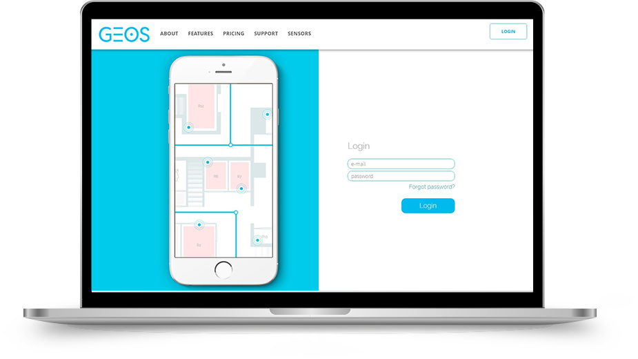
Creating an intuitive system that allows you to add building maps, room plans, navigational devices, movement paths and text messages.
Solution
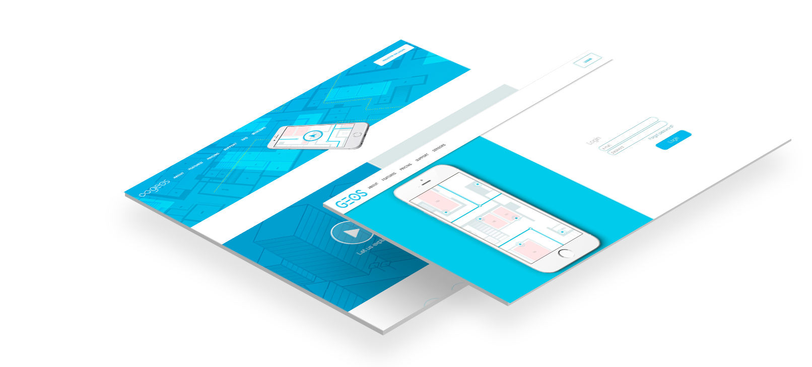
Da Vinci Studio has created a navigation system, especially useful for visually impaired people, which allows to reach the point selected by the user on the building map.
Effect
We created a dedicated system for building and room management, integrated with beacons and an intuitive panel for creating actions and events for users. The panel, using the drag & drop method, enables the creation of rooms, navigation paths, beacon plugging, user experience planning and sending notifications and appropriate display of contextual information.
Used technologies


CLIENT ABOUT COOPERATION

Thanks to Da Vinci Studio’s support and readiness to invest in our relationship, we were able to accelerate work on our product and attract the first customer to choose our sourcing system.
 4.9
4.9
